Om Parvat route
Nabidhang Viewpoint
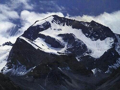
The recognised viewing area offers a sight of the natural Om-shaped snow formation when cloud and snow conditions cooperate.
 Corbett Kumaon Explorer
Explore
Plan your Uttarakhand journey
Best time
May to June and September to October, subject to permits and access
Ideal duration
7-10 days
Known for
Sacred mountain views
About Om Parvat
Use Om Parvat as a key stop in a custom Uttarakhand itinerary. The destination works especially well for travellers interested in sacred mountain views, while nearby places can be combined according to road conditions, weather and available time.
Sightseeing guide
Use these highlights to build a well-paced local plan. Nearby excursions should be selected according to available days, weather, road conditions and current access.
The recognised viewing area offers a sight of the natural Om-shaped snow formation when cloud and snow conditions cooperate.
The mountain is observed from the permitted route rather than climbed; clear visibility can never be guaranteed.
This scenic and sacred halt adds a temple visit and high-valley context to the journey, subject to security restrictions.
Travellers commonly pause here for acclimatisation and official route coordination before continuing higher.
Many authorised itineraries combine Om Parvat with Adi Kailash, but extra days, permits and altitude buffers are essential.
The usual gateways are Kathgodam/Haldwani by rail and road, and Pantnagar by air. The final hill-road transfer varies by destination and current road conditions.